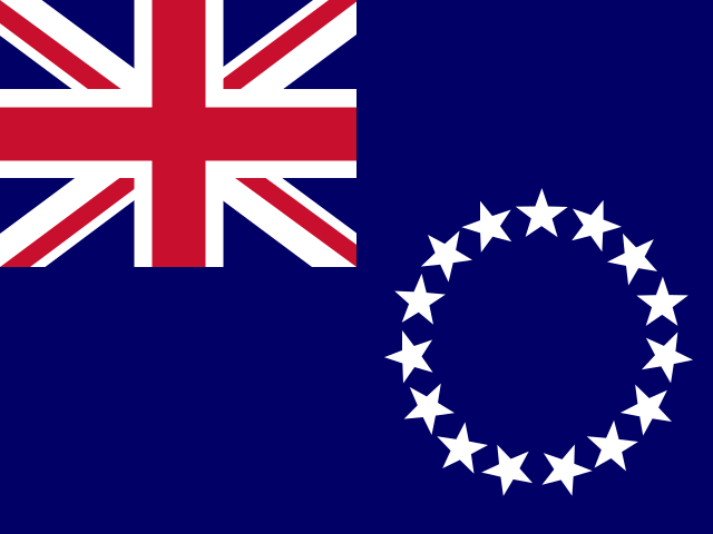
Cook Islands
This page was generated on 20 September 2026 at 12:27 UTC. The bundled facts on it were retrieved on 5 August 2026. Aletheia's source record for emergency numbers records no retrieval date, so it is not covered by that range.
This page is being built. Everything below is a block that is in place and empty. Each one says which kind of empty it is, because those are different facts: nobody has looked yet is not the same claim as we looked and there was nothing, and this page will never let one stand in for the other.
Country outlines on Aletheia come from Natural Earth's 1:10-million public-domain boundary set, made by volunteer cartographers and supported by NACIS. Where a border is disputed, the line drawn is one cartographic convention among the competing claims — not a settled fact, and not Aletheia taking a side. Disputes we can source are listed rather than hidden inside the outline.
Cook Islands is filled. No other country reaches this view. Unpainted ground is where no boundary in this dataset falls: open water, or land none of them claims.
Nothing is hatched because no disputed area in this source overlaps Cook Islands. That is not a finding that none exists — the source says plainly that its list is not exhaustive.
Every part of Cook Islands here is a mark, not a shape. All 13 of them are smaller than a pixel at the scale this country’s own extent demands, so each is drawn at a fixed minimum size at its own position. Nothing here shows how large Cook Islands is.
Boundaries: Natural Earth (public domain), 1:10m. Disputed areas: Natural Earth (public domain). Equirectangular projection, standard parallel 15.4°S — distances and areas away from that parallel are stretched. View: 168.4°W–154.8°W, 23.1°S–7.8°S.
Disputed areas
none listedNo disputed area in this source overlaps Cook Islands. That is not a finding that none exists — the source says plainly that its list is not exhaustive.
News sources
not yet researchedNo news source from this country is in Aletheia's registry yet. Nobody has assessed the media landscape here — that is a gap in our work, not a finding about this country.
Official alerts
no source connectedAletheia's alerts screen has no entry for this country, so no official warning source is connected here. That is a limit on our coverage, not a statement that this country issues no warnings.
National legislature
no source connectedNo official legislature website has been verified for this country. Absence here means no domain-verified authoritative source was found — never that no legislature exists.
Local time
One time zone.
The current time needs JavaScript, so it is not shown here rather than shown wrong.
Conditions at the capital
We couldn't reach the weather service just now, so no conditions are shown. This is not a report that conditions are calm.
Weather from Open-Meteo (CC BY 4.0)
Avarua, 2026-09-20Sunrise 6:30 AM · sunset 6:34 PM12h 04m of daylightWaxing gibbous, 65% lit
At a glance
- ISO code
- COKuncited
- Driving side
- leftuncited
- Mains voltage
- 240 Vcited
- Capital
- Avaruauncited
- Official languages
- Cook Islands Maori, Englishuncited
- Plug type
- Type I (AS/NZS 3112)cited · letters are the IEC classification
- Official website
- ck ↗From the source's "official website" statement, kept here because the site is a government portal. We have not tested whether it loads.uncited
Population and economy
- Population
- Not publishedThe source publishes no figure for this country. That is missing data, not a zero.
- GDP
- Not publishedThe source publishes no figure for this country. That is missing data, not a zero.
- GDP per capita
- Not publishedThe source publishes no figure for this country. That is missing data, not a zero.
- Life expectancy at birth
- Not publishedThe source publishes no figure for this country. That is missing data, not a zero.
- Exports
- Not publishedThe source publishes no figure for this country. That is missing data, not a zero.
- Imports
- Not publishedThe source publishes no figure for this country. That is missing data, not a zero.
World Heritage Sites
Coverage limitedWe hold no World Heritage entry for this country, but our read of the register is not known to be complete, so this is not a finding of none. 6 inscribed sites are in the register and reach no page here — the source records no country for them, so they could belong to any country. That is why an empty result anywhere cannot be read as an absence.
Emergency numbers
- 996listed as: fire department
- 998listed as: emergency medical services
- 999listed as: police
Shown in numerical order, which is not an order of priority.
Listed by the source, mostly from ITU-T E.129. We have not dialled these numbers, and where a service is named it is the source's description rather than ours.
Explore this country
Regions
First-level regions as GeoNames lists them, shown alphabetically · each page computes daylight at the region’s own coordinates
Currency
NZD
News coverage here is counted from Aletheia’s bundled source registry plus the sources the Host had admitted as of 2026-09-14. A source admitted since that date has not reached this page yet, so this is a floor rather than a total.