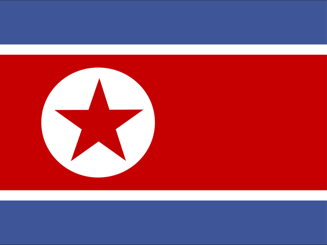
North Korea
This page was generated on 20 September 2026 at 12:27 UTC. The bundled facts on it were retrieved between 13 July 2026 and 8 August 2026.
This page is being built. Everything below is a block that is in place and empty. Each one says which kind of empty it is, because those are different facts: nobody has looked yet is not the same claim as we looked and there was nothing, and this page will never let one stand in for the other.
Country outlines on Aletheia come from Natural Earth's 1:10-million public-domain boundary set, made by volunteer cartographers and supported by NACIS. Where a border is disputed, the line drawn is one cartographic convention among the competing claims — not a settled fact, and not Aletheia taking a side. Disputes we can source are listed rather than hidden inside the outline.
North Korea is filled. The 3 other countries reaching this view are drawn in a dimmer tone — dimmed, not hidden. Unpainted ground is where no boundary in this dataset falls: open water, or land none of them claims.
The 2 hatched areas are contested, and Aletheia takes no position on any of them. The hatching marks where the dispute lies — including where it falls inside the outline — and it is the same set the list below names.
5 parts of North Korea in this source are smaller than a pixel at this scale and are not drawn. Nothing larger than that is missing, and they have not been enlarged to make them visible.
Boundaries: Natural Earth (public domain), 1:10m. Disputed areas: Natural Earth (public domain). Equirectangular projection, standard parallel 40.3°N — distances and areas away from that parallel are stretched. View: 123.6°E–131.3°E, 37.2°N–43.5°N.
Disputed areas involving North Korea
2 areas whose status is contested. Aletheia takes no position on any of them. Each is described in the source’s own words.
Korean Demilitarized Zone (north) · Overlay
Since 1953 a 2 km buffer north of the military demarcation line, patrolled by North Korea
Also involves South Korea
Korean Demilitarized Zone (south) · Overlay
Since 1953 a 2 km buffer south of the military demarcation line, patrolled by South Korea
Also involves South Korea
Source: Natural Earth’s disputed-areas layer (public domain). The list is not exhaustive, and inclusion or omission is not a judgment about any claim’s merit. What has happened in these places is not described here — that needs a source Aletheia has not yet been able to read.
News sources
2 sources from North Koreain Aletheia’s registry. Coverage here is thin.
- Daily NK (English)
- NK News
sources not yet assessed
Official alerts
no source connectedNo official alerting source is connected for this country yet. Its own authorities may well publish warnings — Aletheia simply does not carry them.
National legislature
no source connectedNo official legislature website has been verified for this country. Absence here means no domain-verified authoritative source was found — never that no legislature exists.
Local time
One time zone.
The current time needs JavaScript, so it is not shown here rather than shown wrong.
Conditions at the capital
Right now in Pyongyang
20°C / 68°FClearwind 8 km/h / 5 mph
Checked 12 minutes ago
Conditions at the capital, not across the country.
Weather from Open-Meteo (CC BY 4.0)
Pyongyang, 2026-09-20Sunrise 6:22 AM · sunset 6:38 PM12h 16m of daylightWaxing gibbous, 65% lit
At a glance
- ISO code
- PRKuncited
- Driving side
- rightuncited
- Mains voltage
- 110 V / 220 Vcited
- Capital
- Pyongyanguncited
- Official languages
- Korean, North Korean standard languageuncited
- Plug types
- Type A (NEMA 1-15), Type C (Europlug), Type F (Schuko)cited · letters are the IEC classification
- Official website
- No source assessed yet
Population and economy
Population
Population of North Korea: the UN's 2025 estimate is 26,571,036 people. The page shows that figure carried forward at about 8.2 more an hour. It is a projection, not a count, and the figure shown changes as time passes.
Not a count. This is the UN's 2025 estimate carried forward at the rate implied by the two most recent published years — arithmetic, not a measurement. Nobody counts a country continuously, and the true figure right now is unknown.
Where this number comes from
- Base figure
- 26,571,036 people
- For the year
- 2025 — a mid-year estimate, so it describes 1 July 2025
- Compared with
- 26,498,823 people in 2024
- Rate applied
- about 8.2 more an hour (72,261 a year)
- How that rate was found
- The difference between the 2024 and 2025 estimates, divided by the time between them. It is our arithmetic on two published figures — the source does not publish this rate.
- Carried forward
- 0 days beyond the base figure's date
- Source
- UN World Population Prospects and national statistical offices, compiled by the World Bank · source updated 2026-07-13
- The source's own definition
- The values shown are midyear estimates.
THIS NUMBER IS NOT A MEASUREMENT, AND ITS MOVEMENT IS NOT NEWS. No country counts its population continuously. A census is periodic, and every figure between censuses — including the estimate this starts from — is a projection. What you are watching is that projection's trend applied to the clock on your phone. It moves because time passes, not because anyone was born or died. Treat the digits beyond the first few as arithmetic rather than knowledge: the trend is real, the precision is not.
- Population
- 26,571,0362025
- GDP
- Not publishedThe source publishes no figure for this country. That is missing data, not a zero.
- GDP per capita
- Not publishedThe source publishes no figure for this country. That is missing data, not a zero.
- Life expectancy at birth
- 73.7 years2024
- Exports
- Not publishedThe source publishes no figure for this country. That is missing data, not a zero.
- Imports
- Not publishedThe source publishes no figure for this country. That is missing data, not a zero.
Compiled by the World Bank from: World Population Prospects, United Nations (UN), uri: https://population.un.org/wpp/, publisher: UN Population Division · source updated 2026-07-13 · each figure is dated because the most recent value was chosen by us, not by the source
World Heritage Sites
3 World Heritage Sites
- Goguryeo tombs · inscribed 2004
- Historic Monuments and Sites in Kaesong · inscribed 2013
- Mount Kumgang · inscribed 2025
Register from Wikidata (CC0) · in inscription order · links go to UNESCO
Emergency numbers
No source assessed yet for emergency numbers in this country.
Explore this country
Regions
- Chagang
- Kaesong
- Kangwŏn-do
- Nampo
- North Hamgyong
- North Hwanghae
- P'yŏngan-bukto
- Pyongyang
- Rason
- South Hamgyong
- South Hwanghae
- South Pyongan
- Yanggang-do
First-level regions as GeoNames lists them, shown alphabetically · each page computes daylight at the region’s own coordinates
Currency
KPW
News coverage here is counted from Aletheia’s bundled source registry plus the sources the Host had admitted as of 2026-09-14. A source admitted since that date has not reached this page yet, so this is a floor rather than a total.