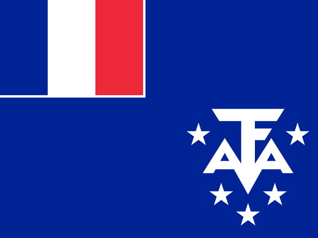
French Southern Territories
This page was generated on 20 September 2026 at 12:27 UTC. The bundled facts on it were retrieved on 5 August 2026.
This page is being built. Everything below is a block that is in place and empty. Each one says which kind of empty it is, because those are different facts: nobody has looked yet is not the same claim as we looked and there was nothing, and this page will never let one stand in for the other.
Country outlines on Aletheia come from Natural Earth's 1:10-million public-domain boundary set, made by volunteer cartographers and supported by NACIS. Where a border is disputed, the line drawn is one cartographic convention among the competing claims — not a settled fact, and not Aletheia taking a side. Disputes we can source are listed rather than hidden inside the outline.
French Southern Territories is filled. The 10 other countries reaching this view are drawn in a dimmer tone — dimmed, not hidden. Unpainted ground is where no boundary in this dataset falls: open water, or land none of them claims.
The 5 hatched areas are contested, and Aletheia takes no position on any of them. The hatching marks where the dispute lies — including where it falls inside the outline — and it is the same set the list below names. 5 of them are smaller than this map can draw and are marked with a fixed-size diamond: the diamond is their position, not their size or shape.
17 parts of French Southern Territories in this source are smaller than a pixel at this scale and are not drawn. Nothing larger than that is missing, and they have not been enlarged to make them visible.
Boundaries: Natural Earth (public domain), 1:10m. Disputed areas: Natural Earth (public domain). Equirectangular projection, standard parallel 30.6°S — distances and areas away from that parallel are stretched. View: 36.2°E–81.1°E, 53.2°S–8.1°S.
Disputed areas involving French Southern Territories
5 areas whose status is contested. Aletheia takes no position on any of them. Each is described in the source’s own words.
Bassas da India · Geo subunit
Admin. by France; Claimed by Madagascar
Europa Island · Geo subunit
Admin. by France; Claimed by Madagascar
Glorioso Is. · Geo subunit
Admin. by France; Claimed by Madagascar
Juan De Nova I. · Geo subunit
Admin. by France; Claimed by Madagascar
Tromelin I. · Geo subunit
Admin. by France; Claimed by Mauritius and the Seychelles
Source: Natural Earth’s disputed-areas layer (public domain). The list is not exhaustive, and inclusion or omission is not a judgment about any claim’s merit. What has happened in these places is not described here — that needs a source Aletheia has not yet been able to read.
News sources
not yet researchedNo news source from this country is in Aletheia's registry yet. Nobody has assessed the media landscape here — that is a gap in our work, not a finding about this country.
Official alerts
no source connectedNo official alerting source is connected for this country yet. Its own authorities may well publish warnings — Aletheia simply does not carry them.
National legislature
no source connectedNo official legislature website has been verified for this country. Absence here means no domain-verified authoritative source was found — never that no legislature exists.
Local time
2 time zones.
How many distinct clocks that is depends on the date. The current time needs JavaScript, so it is not shown here rather than shown wrong.
Conditions at the capital
We couldn't reach the weather service just now, so no conditions are shown. This is not a report that conditions are calm.
Weather from Open-Meteo (CC BY 4.0)
Port-aux-Français, 2026-09-20Sunrise 6:12 AM · sunset 6:13 PM12h 01m of daylightWaxing gibbous, 65% lit
At a glance
- ISO code
- ATFuncited
- Driving side
- rightuncited
- Mains voltage
- No source assessed yet
- Capital
- Port-aux-Françaisuncited
- Official language
- Frenchuncited
- Plug type
- No source assessed yet
- Official website
- taaf.fr ↗From the source's "official website" statement, kept here because the site is a government portal. We have not tested whether it loads.uncited
Population and economy
- Population
- Not publishedThe source publishes no figure for this country. That is missing data, not a zero.
- GDP
- Not publishedThe source publishes no figure for this country. That is missing data, not a zero.
- GDP per capita
- Not publishedThe source publishes no figure for this country. That is missing data, not a zero.
- Life expectancy at birth
- Not publishedThe source publishes no figure for this country. That is missing data, not a zero.
- Exports
- Not publishedThe source publishes no figure for this country. That is missing data, not a zero.
- Imports
- Not publishedThe source publishes no figure for this country. That is missing data, not a zero.
World Heritage Sites
Coverage limitedWe hold no World Heritage entry for this country, but our read of the register is not known to be complete, so this is not a finding of none. 6 inscribed sites are in the register and reach no page here — the source records no country for them, so they could belong to any country. That is why an empty result anywhere cannot be read as an absence.
Emergency numbers
No source assessed yet for emergency numbers in this country.
Explore this country
Regions
First-level regions as GeoNames lists them, shown alphabetically · each page computes daylight at the region’s own coordinates
Currency
EUR
News coverage here is counted from Aletheia’s bundled source registry plus the sources the Host had admitted as of 2026-09-14. A source admitted since that date has not reached this page yet, so this is a floor rather than a total.